Michael Hill
Freelance Experiential Software Developer
Portland, Oregon; Indianapolis, Indiana
June 2026
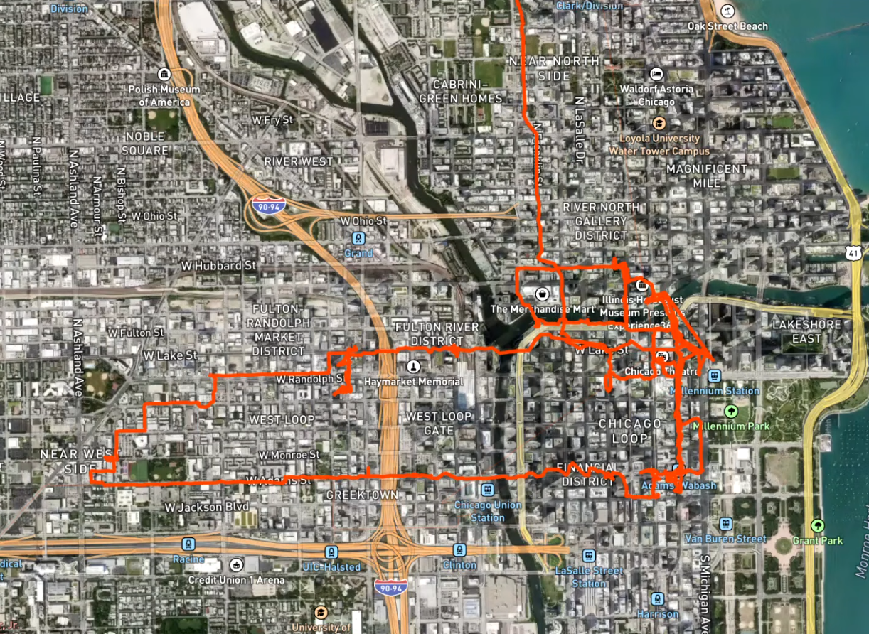
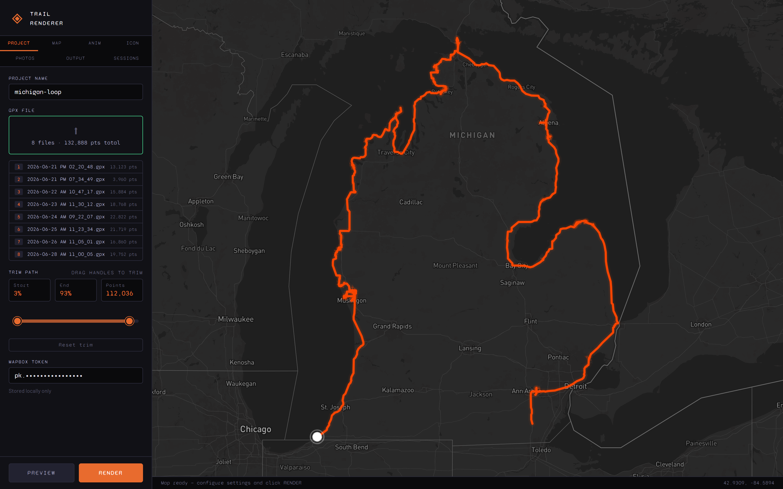
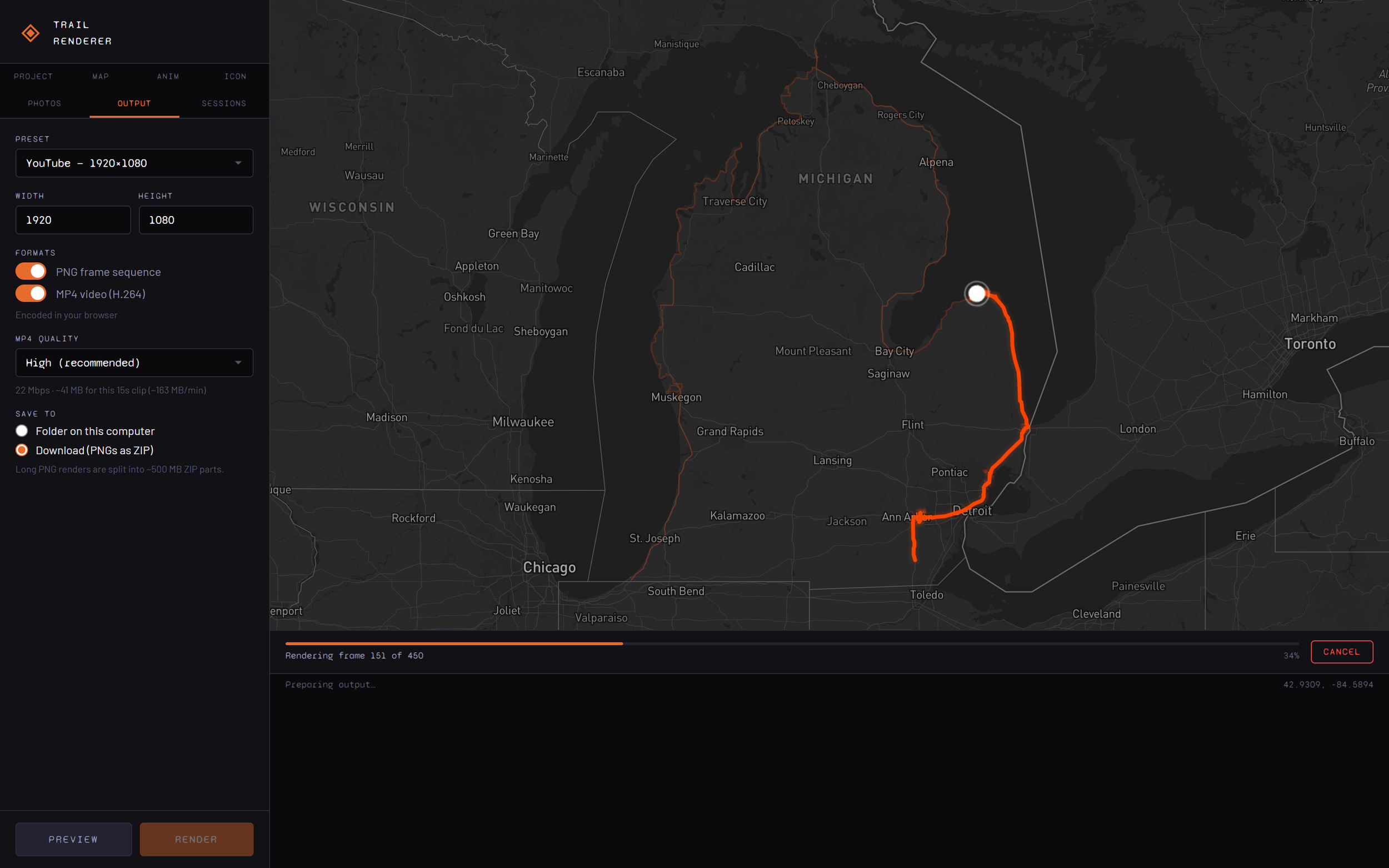
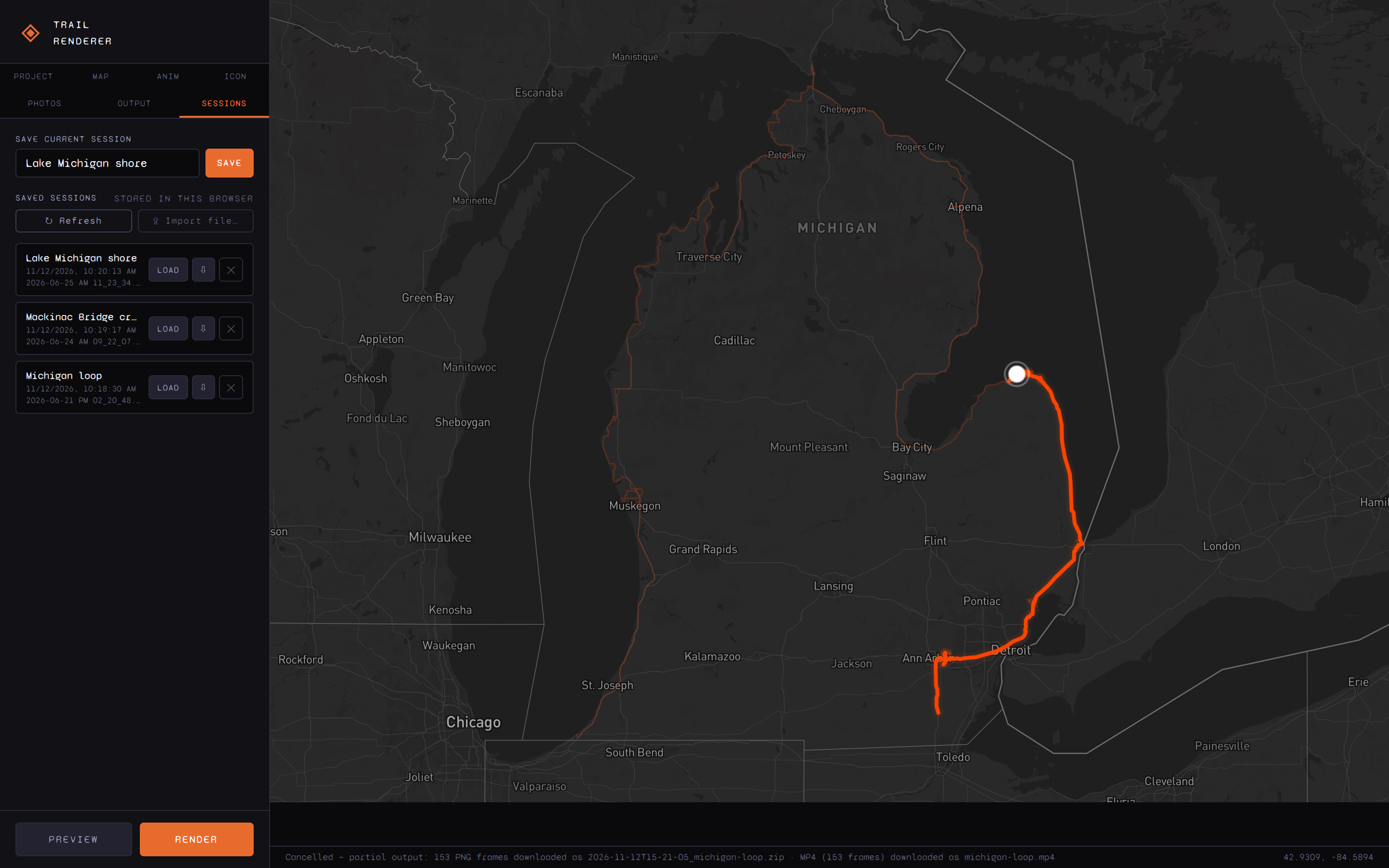
I record my motorcycle trips with GPS and wanted short animated maps of each route for my ride videos: a dot travelling along the road with the trail drawing in behind it. Trail Renderer turns GPX files into those animations. It runs entirely in the browser, so it can be hosted as a static page for free.
From there it can:
- Combine a multi-day trip from several GPX files and trim it to the part worth showing
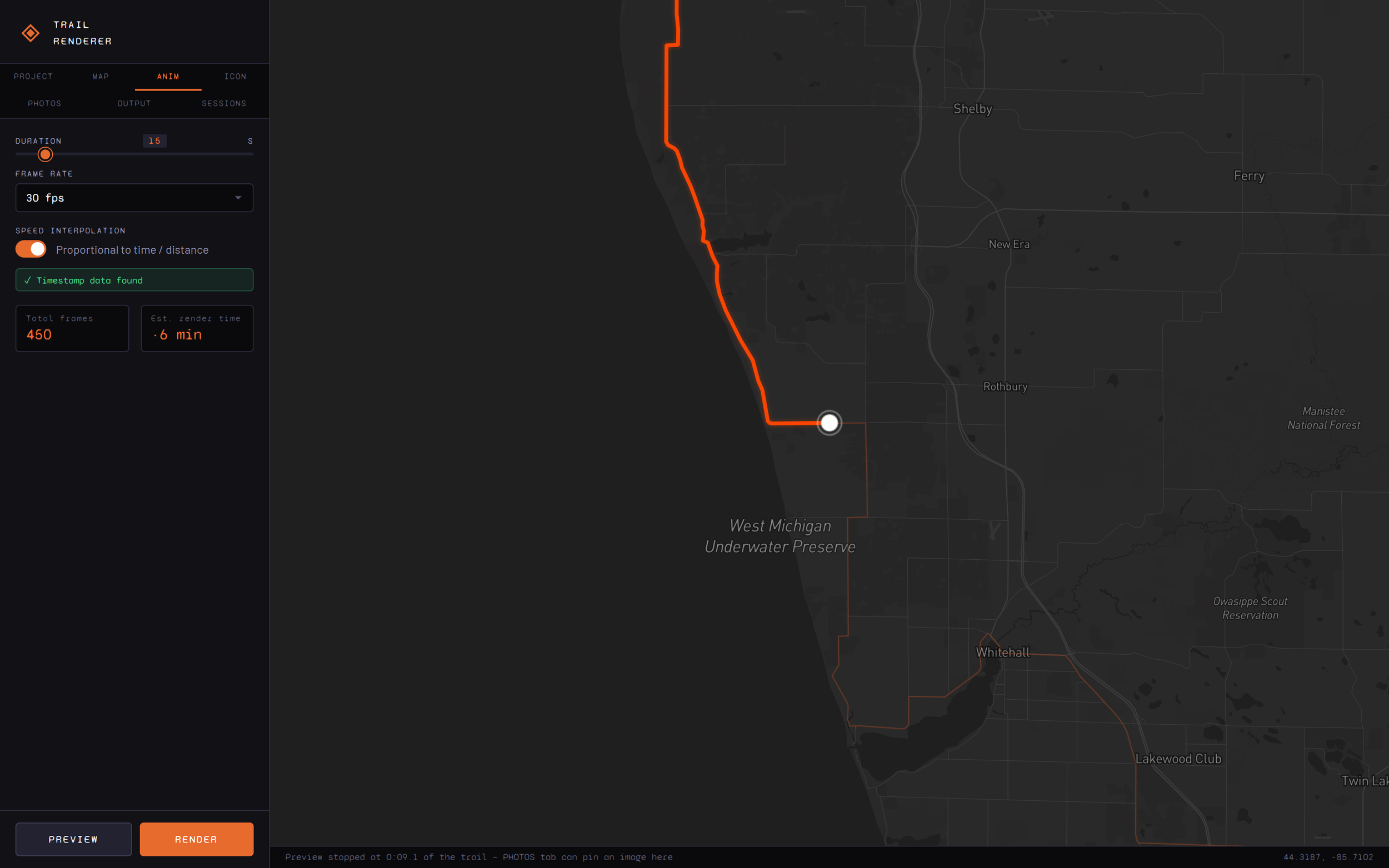
- Move the dot in step with the real timestamps, so slow and fast stretches keep their pace
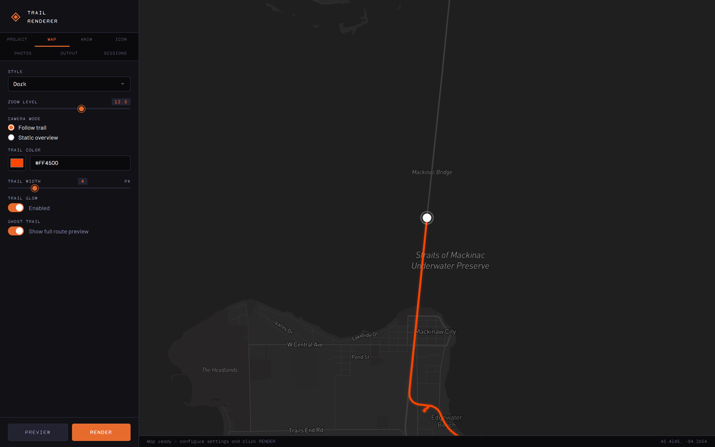
- Follow the dot or hold a fixed overview, with a choice of map styles, colours and icons
- Export PNG frames or an MP4 encoded in the browser, at full resolution up to 4K
- Pause on ride photos at the point where each one was taken, using the photo's capture time
- Save sessions in the browser and export them as files
Nothing is uploaded: GPX files, photos and renders stay on your own computer, and the Mapbox token is never written into exported files.
Tools: JavaScript, Mapbox GL JS, WebCodecs, mp4-muxer, client-zip, IndexedDB, File System Access API